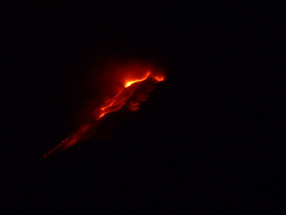
Fuego Volcano Location Map: Alert Declared and Families Evacuated
A state of alert has been declared in the Sacatepequez region near Guatemala City on 19 May, 2012 due to the increased activity of the Fuego volcano.
Apart from this, families living in the vicinity and in the radius of the volcano have been evacuated, the National Coordinator of Disaster Reduction (CONRED) mentioned.
Earlier, on 19 May, 2012, increased seismic activity was observed in the region with the ash columns reaching 5000 metres above the crater.
Later, as per CONRED reports, the volcano was seen in a declining phase of energy release. Besides the seismic records, reports were also drawn up based on the information sent by locals residing close to the region and also with the help of images from the camera placed in the observatory Panimaché.
According to the analysis made, there is a constant state of threat due to falling ash on communities like the Panimaché I and II, Morelia, Santa Sofía, Yepocapa, and Santa Lucia Cotzumalguapa Siquinalá.
There is also danger in the highway sector Palin-Escuintla due to the accumulation of falling ash making driving in the region difficult. As per the reports, the current volcanic activity has also produced abundant pyroclastic flows depositing material into the ravines and generating lahars that can cause damage to the road network.
Motorcyclists travelling through the highway of Palin-Escuintla have been cautioned to move slowly and carefully.
Mercury News reported that David de Leon, spokesman for the national disaster agency, said authorities have raised the alert level because Fuego is in an effusive stage. The measure involves closing nearby highways, installing monitoring stations and readying emergency workers.
Researchers are also considering the negative effect on crops and livestock area where there is a constant fall of volcanic ash.
Considering the threats described, CONRED monitoring systems are constantly checking to observe any kind of reactivation conditions.
The Directorate General of Civil Aviation, DGCA has advised precautions with air traffic and avoid flights within a radius of 25 to 30 miles or more if necessary in the perimeter of the volcano Fuego.
Catch a glimpse of the Fuego volcano and location map:


© Copyright IBTimes 2025. All rights reserved.


