Constellation of tiny Dove satellites could predict natural disasters, help ships with navigation
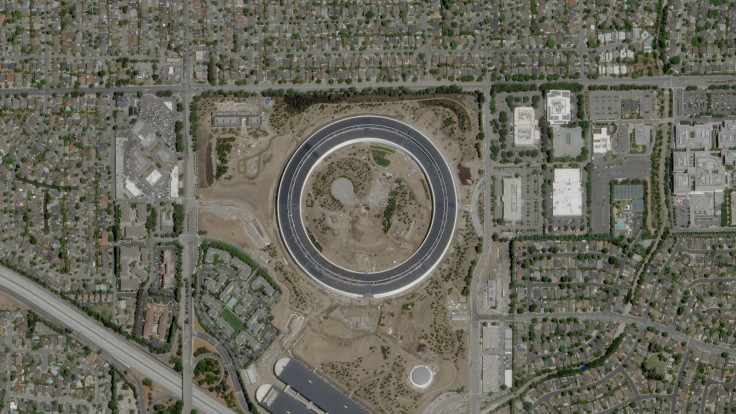
Dove satellites work in swarms, constantly taking high resolution images of the Earth.

San Francisco-based Planet Labs, Inc. has developed shoebox satellites that are designed to read and track weather patterns from space.
These shoebox satellites are made to work in swarms, or fleets, constantly taking pictures and recording various other stats as they fly by at a point that is just outside the atmosphere. According to a report by the Daily Beast, they track every passing cloud with their onboard camera.
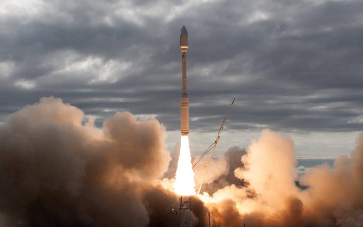
On Halloween, the company reportedly launched their latest batch of shoebox satellites. Mike Safyan, senior director, launch and global ground station networks at Planet, said that they are assets that use space to help life on Earth. He added, "We named them Dove satellites because we wanted the message to be just as important as the product."
Dove satellites are classified as cubesats because of their small size. They are simple devices with only one camera and one telescope on board.
With no way to propel themselves, Doves decay in orbit relatively quickly, falling back into the atmosphere, burning upon re-entry. Because of this, several launches need to be made every year.
According to the report, Doves will give the company an expanded coverage over disaster response and industrial strategy.
The Dove goes from North pole to South pole every 90 minutes, notes the report. This means they have extensive coverage of many of the planet's most ecologically at-risk areas. "We just hit record on the world's most unique and vulnerable places," Alex Bakir, vice president of product and marketing, said.
Data that is taken from Doves are being used by researchers to study glacial flow, the speeds at which they are moving as well as spotting cracks in ice sheets among other things, notes the report.
Not only this data could be useful for climate research, but also for shipping companies. Logistics companies are always on the lookout to see how their shipping channels are, says the report.
Remote sensing –using satellites to measure and estimate objects on Earth– can be used for activities like measuring fields to estimate crop outputs and mapping disaster zones. Using Crowd AI, the company is also able to create accurate, updated maps that could be used in situations like flooding to mark out roads that are usable, for example.
The Halloween launch also had a new version of satellites called SkySats that have higher resolution cameras, notes the report. Earlier this year, Planet Labs launched 88 satellites into orbit to form one swarm or constellation, making it the largest swarm of satellites to ever be launched at once. Their latest launch had 10 shoeboxes- 6 SkySats and 4 Doves.


