US man investigated for flying DJI drone near LAPD helicopter and derailing suspect search

A US man is currently being investigated after flying a consumer drone near a police helicopter hot on the chase of a suspect in Los Angeles, thus derailing the investigation as well as posing a risk to the pilots and people on the ground.
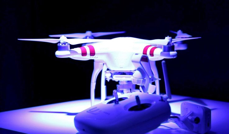
Near midnight on 27 August, an unnamed man in his 40s was flying a DJI Phantom drone that swooped within 50ft of a Los Angeles Police Department helicopter that was pursuing a suspect in the Hollywood area.
The helicopter was forced to take action to prevent crashing into the unmanned aerial vehicle (UAV) and ended up tracking the drone operator down to a car park near, where they took the man into custody, according to local TV channel ABC7.
"It is very hazardous. It could kill everybody onboard the aircraft and anybody you hit on the ground. These aircraft are just under 5,000 pounds and they can carry up to 143 gallons of jet fuel," said LAPD pilot Sargeant. Jorge Gonzalez.
Drone operator faces FAA investigation
The LAPD confirmed that this was the most serious incident to date and the first time that a drone had come into a police helicopter's airspace at such close proximity. According to KTIC Rural Radio, the man told police: "I just got this thing! I don't understand what I did wrong."
The man, who claimed he had not seen the helicopter, was taken into custody and questioned, but he was not arrested and eventually released. However, the police are considering charging the man with interfering with police work.
The man also faces questioning from the Federal Aviation Administration (FAA) and a forensic lab will be studying the aerial footage recorded by the drone to see if the drone intentionally swerved towards the helicopter in order to deliberately ruin the hunt for the suspect.
Not enough clarity on drone regulations
Currently there is not enough information being given to the general public in many countries about where drones can and cannot be flown.
The FAA's official proposed drone rules from February state that UAVs weighing up to 55 pounds (24kg) can be flown during daylight hours, as long as they stay within the line of sight of the drone operator. The drones must stay below 500ft in the air and fly at a speed of less than 100mph.
While it sounds simple enough to just keep the drone flying at a low altitude so that it won't be able to hit anything, the reality is that the different classes of airspace are much more complicated to understand.
For example, Class B airspace, which is from ground level to 10,000ft, must be kept clear as these areas are directly in the path of commercial aircraft flights. But if you're not in the aerospace industry, you might not know that.
More legislation is needed and Californian lawmakers are now considering state legislation that would make it a crime to fly drones near to wildfires or 350ft above private property.
Drone firmware needs to restrict users

To clarify matters in the UK, the Civil Aviation Authority here has advised the general public that they cannot fly drones within cities or towns, and that they must find clear, wide green spaces that are at least 50m away from people, vehicles, buildings or structures.
However, that said, users must also avoid designated no-fly zones, such as controlled airspace near airports, prohibited areas, restricted areas over prisons and power plants, as well as danger areas set aside for military testing.
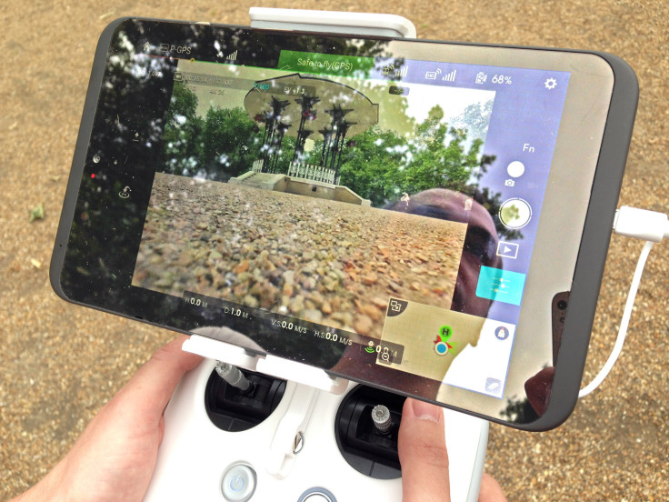
Finally, more still needs to be done by the drone manufacturers themselves. The footage of the Los Angeles incident shows a police officer holding a DJI Phantom remote controller connected to the tablet, which runs the DJI pilot app.
While DJI is very careful to warn users about the areas where they cannot fly drones, our review of the DJI Phantom 3 Professional drone found that if the controls are set to manual, there is nothing in the DJI firmware that physically prevents a user from commanding the drone to fly up to 500ft, which in the UK would be breaking the rules by 100ft.
© Copyright IBTimes 2025. All rights reserved.


