Hurricanes Irma, Katia and Jose: This is how the 3 massive Atlantic storms look from space
Nasa classified Irma as a Category 5 hurricane, Katia as Category 1, while Jose continues to gain strength.
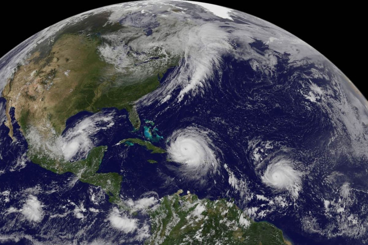
The Atlantic Ocean is now playing host to 3 massive hurricanes – Irma, Katia and Jose. The trio has already left officials at the US National Hurricane Center scrambling to track their individual paths and estimate the scale of destruction that can be expected as each of the storms move toward land.
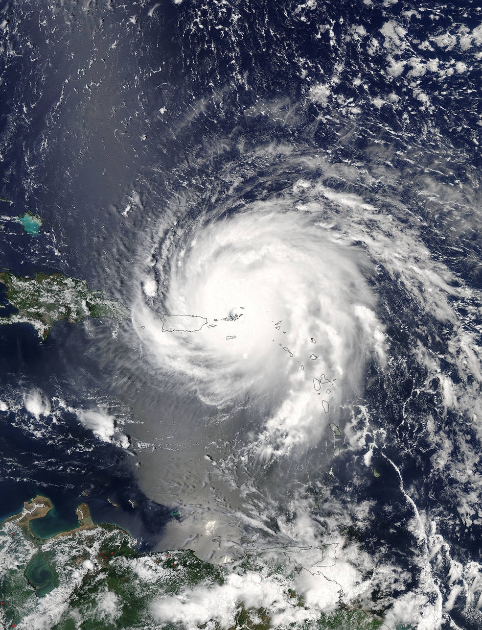
Irma, classified as a Category 5 hurricane by Nasa, has already wreaked havoc in the Caribbean and could be the strongest ever to hit the US state of Florida. Operations at the world's second largest radio telescope, The Arecibo Observatory in Puerto Rico, were shut down as Irma got closer.
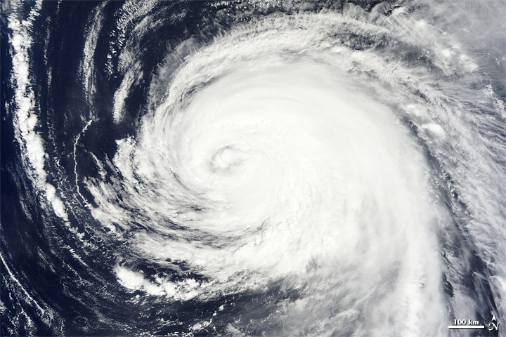
Meanwhile, Hurricane Katia has been deemed as Category 1, even as the massive storm moves northwest over the Atlantic Ocean. According to Nasa's Earth Observatory, ocean swells caused by Katia continues to affect the US East Coast and Bermuda.
Alarmingly, despite Hurricane Jose being described as a comparatively "small storm, it has been steadily gaining strength. Jose could affect the Leeward Islands, although Nasa said that "outflow of Hurricane Irma should inhibit further intensification and subsequently, cause the cyclone to begin weakening."
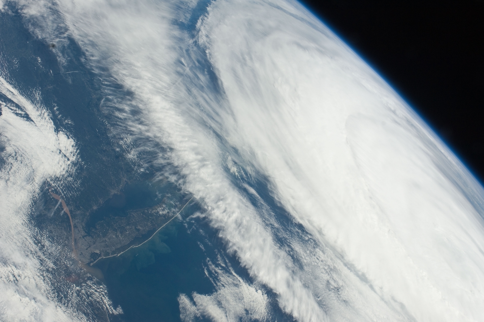
All three hurricanes are being tracked by satellites and Nasa. The space agency has released staggering images of Irma, Katia and Jose.

© Copyright IBTimes 2025. All rights reserved.


