Indonesia 8.7 Magnitude Earthquake: Latest Pictures, Video from the Scene


A massive earthquake measuring 8.7 on the Richter scale hit Indonesia and the surrounding regions and has led to tsunami warnings all nearby coastal countries.
Reports said the quake was in roughly the same area as the monster 9.1-magnitude tremor on 26 December, 2004, which sparked a tsunami that killed about 230,000 people across 13 countries bordering the Indian Ocean, including Thailand, Sri Lanka and India.
The U.S. Geological Survey said the quake's epicentre was 33 kilometres beneath the ocean floor, more than 430 kilometres from Indonesia's Aceh province.
Meanwhile, the Indonesian president said there was no immediate threat of a tsunami from the earthquake. Earlier, Indonesia has issued its own tsunami warning and an Indian Ocean-wide alert. "So far, there is no tsunami threat," he said on national television.
Earlier, even the Indian National Centre for Ocean Information Service issued a red high-level warning for the islands, and also put out lower alerts for the coasts of Andhra Pradesh and Tamil Nadu and the Pacific Tsunami Warning Centre issued tsunami watch for 28 countries -- Indonesia, India, Sri Lanka, Australia, Myanmar, Thailand, Maldives, Britain, Malaysia, Mauritius, Syechelles, Pakistan, Somalia, Oman, Madagascar, Iran, UAE, Yemen, Bangladsh, Tanzania, Mozambique, Kenya, South Africa and Singapore.
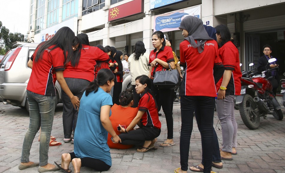
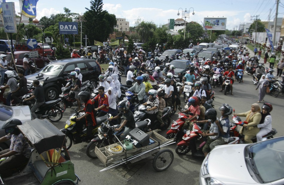
A look at the pictures of Aceh in Indonesia when the disaster struck:
© Copyright IBTimes 2025. All rights reserved.


