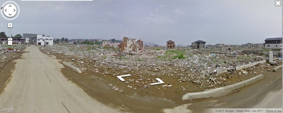
Japanese Tsunami Shown on Google Street View [PHOTOS]
1 of 8


Nine months after the devastating earthquake and tsunami struck the northeast of Japan, Google has uploaded photos of the affected areas on its Street View mapping site. The images show the path of destruction left behind by the tsunami.
The search giant announced that it is mapping 27,340 miles of roads affected by the March 11 catastrophe. Kei Kawai, senior product manager of Street View, said: "The 360-degree panoramic imagery of those areas is now available through the Street View feature in Google Maps."
The images can be viewed through Street View itself, or through the Memories of The Future Web site.
© Copyright IBTimes 2025. All rights reserved.


