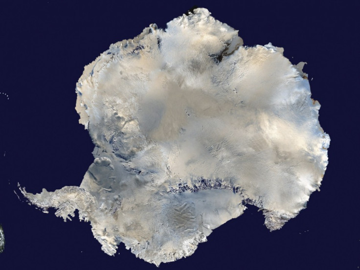
Warm Ocean Currents Behind the Rapid Loss of Antarctic Glaciers

Large amount of ice in the Antarctic region are being depleted because of the warm ocean currents, revealed a new study on the cause of recent rapid melting of glaciers in the region by the Nasa.
The study by a team of international scientists found out that the major cause of the recent ice loss from the Antarctica is due to the warm ocean currents which attack the underside of the floating ice sheets in the region, called the basal melt.
"We can lose an awful lot of ice to the sea without ever having summers warm enough to make the snow on top of the glaciers melt. The oceans can do all the work from below," said the study's lead author Hamish Pritchard of the British Antarctic Survey in Cambridge, United Kingdom.
Scientists conducted the study to differentiate between the two known causes of the ice melting with the use of a combination of satellite measurements and models from Nasa's Ice, Cloud, and land Elevation Satellite (ICESat).
The team also found that the changing wind patterns have affected the strength and direction of the ocean currents that attack the underbelly of the ice sheets.
The study is expected to give more evidence to the reasons of sea level rise and would help in more accurate projections of future sea level rise.
Out of the 54 ice shelves studied from the West Antarctica region, 20 are being melted by the warm ocean currents.
The study was conducted during the period of October 2003 to October 2008 and the researchers used a time series of 4.5 million surface height measurements taken by a laser instrument mounted on ICESat.
"This study demonstrates the power of space-based, laser altimetry for understanding Earth processes. Coupled with Nasa's portfolio of other ice sheet research using data from our GRACE mission, satellite radars and aircraft, we get a comprehensive view of ice sheet change that improves estimates of sea level rise," said Tom Wagner, cryosphere program scientist at Nasa headquarters in Washington.
ICESat is the first satellite designed specially to study the changes in the Earth's Polar Regions due to the climate change. It was functional from 2003 to 2009. The next satellite ICESat-2 is scheduled for launch in 2016.
The international team involved in the research is from the British Antarctic Survey, Utrecht University in Utrecht, Netherlands, the University of California in San Diego and the non-profit research institute Earth and Space Research in Corvallis, Ore.
© Copyright IBTimes 2025. All rights reserved.


