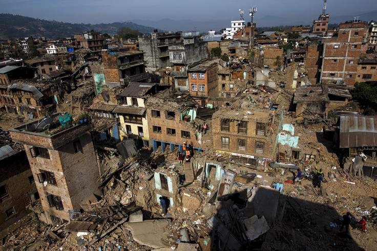
Nepal 7.8 earthquake 'bounced' Mount Everest 3cm to the south west

The earthquake that struck Nepal in April moved Mount Everest by 3cm to the south west.
A report by China's National Administration of Surveying, Mapping and Geoinformation found the world's highest mountain effectively bounced backwards following the magnitude 7.8 earthquake that killed almost 9,000 people.
According to China Daily, the report found Everest (29,029ft, 8,848m) has moved 40cm to the north east over the past decade – around 4cm per year.
When the earthquake struck, it was pushed backwards, said Xu Xiwei, deputy head of the Institute of Geology at the China Earthquake Administration in Beijing.

"The mountain has been constantly moving to the north east and the earthquake made it bounce a little bit in the opposite direction," he said. "The scale of such movement is normal and won't affect life in the area."
The report also showed the second magnitude 7.5 earthquake had no effect on the mountain. It did not rise or fall as a result of the earthquake, despite some speculation this could be the case. Currently, the mountain rises at a rate of 3cm per decade.
Mount Everest is located on Eurasian and Indian tectonic plates. These plates are believed to be responsible for its north eastwards shift and rise.
Researchers are constantly studying the area for its tectonic movement and the effect on the terrain.
Xu said: "By measuring the movement, scientists can learn more about the principles of Earth releasing energy, and measure the scale of the energy being released. Such measurement helps us to locate the source of the tectonic movement and observe when abnormal movement occurs."
© Copyright IBTimes 2025. All rights reserved.


